How to Get Around Washington, D.C.
A clear, realistic answer to how to get around Washington, D.C. without a car — when to simply walk, when the Metro is fastest, where buses fill the gaps, when a taxi or rideshare earns its fare, and how bikes and tour buses fit in. Plain trade-offs for a city built to be crossed on foot and by rail.

Photo: Brandon Mowinkel / Unsplash
- ✓Most of a Washington trip is walking and short Metro hops — you almost never need a car, and parking makes one a liability downtown.
- ✓Walk the Mall; ride the Metro between neighbourhoods and to the airport; take a bus for Georgetown and the gaps rail misses.
- ✓One SmarTrip card, contactless card or phone covers both Metrorail and Metrobus — tap in and out on rail.
- ✓Taxis and rideshare are best for late nights, heavy bags or door-to-door comfort, not for everyday sightseeing.
- ✓Capital Bikeshare and the Circulator-style routes are pleasant for short trips on a fine day.
The short answer: walk, ride the rails, skip the car
Washington is one of the easiest major American cities to visit without a car. The sights you came for cluster on and around the National Mall, which is meant to be crossed on foot, and where walking runs out, a six-line Metro network picks up the slack. Add the odd bus, an occasional taxi or rideshare for comfort, and you have covered everything a visitor needs. Bringing or renting a car mostly buys you parking headaches and traffic, not freedom.
The honest strategy is to match the mode to the distance. On the Mall and within a single neighbourhood, walk — it is usually faster than waiting for anything. Between neighbourhoods, or out to an airport, take the Metro. When rail does not reach (Georgetown, most famously) or you are tired, loaded with bags or out late, reach for a bus or a car. Hold that hierarchy in mind and you will rarely choose wrong.


When to walk
Walking is the default, not the fallback. The National Mall runs two miles from the Capitol to the Lincoln Memorial, and the only sensible way to take in its monuments is on foot, stringing them together at your own pace. Within neighbourhoods — Georgetown's waterfront, Capitol Hill, Dupont, the U Street corridor — distances are short and the streets are the point. Comfortable shoes do more for a Washington trip than any transit pass.
The grid helps you walk with confidence. Numbered streets run north-south, lettered streets east-west, and the Capitol is the zero point from which the four quadrants spread, so always check whether an address is NW, NE, SW or SE before you set off. Get the suffix right and you will rarely walk the wrong way.
When to take the Metro
The Metro is the right tool for distance: hopping between neighbourhoods, crossing the city, or getting to and from Reagan National Airport, which sits directly on the line. Six color-coded lines reach most of what visitors want, trains come often enough that you rarely need a timetable, and one SmarTrip card — or a contactless bank card or phone — pays for both rail and bus. Remember to tap both in and out on rail, because fares are distance-based and the system needs your exit to bill you correctly.
Fares vary by distance and time of day, so confirm current pricing and any visitor-pass options with WMATA before you build a budget. The system also runs less frequently late at night and has a nightly closing time — worth checking before a late evening out.
Buses, bikes and tour loops
Buses earn their keep where rail does not reach. The clearest case is Georgetown, which has no Metro station of its own, so a Metrobus (or a walk from Foggy Bottom or Dupont) is how you get there. Buses use the same SmarTrip or contactless payment as the trains. For short, pleasant trips in good weather, Capital Bikeshare's docked bikes are dotted across the centre, and the flat ground around the Mall makes for easy riding.
Hop-on, hop-off sightseeing buses circle the monuments and museums and can suit travellers who want a narrated overview or who tire on foot — though on a fine day, walking the Mall is both free and often quicker between the close-set sights. Treat the tour loops as a comfort option, not the backbone of your sightseeing.

Taxis, rideshare and driving
Taxis and ride-hailing apps both operate throughout Washington and are the comfortable choice for late nights after the Metro thins out, for heavy luggage, or for a door-to-door trip when you are simply done walking. They are not the everyday sightseeing tool, though — traffic and the cost add up, and most daytime hops are faster on rail or on foot.
Driving and parking deserve a flat warning: a car is more burden than benefit for a central DC visit. Downtown parking is scarce and expensive, the quadrant grid and diagonal avenues confuse newcomers, and almost everything you want is reachable without one. If you are pairing the city with a day trip into Virginia or Maryland, rent the car for that day only and leave the rest of your trip car-free.
Common questions about getting around DC
Do I need a car in Washington, D.C.? No. For a monument-and-museum trip the city works best on foot and by Metro, and a car mainly adds parking and traffic problems. Rent one only for a day trip out of the District.
What is the cheapest way to get around? Walking, then the Metro and buses on a SmarTrip or contactless card. The headline sights — monuments, Smithsonian museums, the National Gallery — are free, so transport is most of your daily spend.
How do I pay for the Metro and buses? Tap a SmarTrip card, contactless bank card or phone at the faregate or on the bus; the same payment covers both. On rail, tap entering and exiting. Verify current fares and any visitor passes on WMATA.
How do I get to Georgetown without a Metro stop? Walk from Foggy Bottom or Dupont Circle, or take a Metrobus; rideshare and taxis are the easy door-to-door alternative.
Is the Metro safe and easy at night? It runs less often late and closes for the night, so check last-train times; for late evenings, a taxi or rideshare is often the simpler call.

Related guides

Washington, D.C. Metro Guide
A first-timer's guide to riding the Washington Metro — how to pay with SmarTrip or a contactless card, how distance-based fares work, which lines reach the airports and the Mall, the stations that put you closest to the monuments and museums, and the handful of mistakes newcomers make. Evergreen guidance with the volatile fares flagged to verify.
Read guide
Washington, D.C. Airport to City
How to get from each of Washington's three airports into the city, compared in one place — Reagan National (DCA) on the Metro, Dulles (IAD) via the Silver Line, and BWI by train from Union Station — with the transit, taxi and rideshare trade-offs and how each one pairs with where you're staying. Evergreen advice, with fares and frequencies flagged to verify.
Read guide
Parking & Driving in Washington, D.C.
An honest guide to parking and driving in Washington, D.C. — why most visitors are better off without a car, how hotel and Mall parking works, garages versus street parking, the District's strict street rules, and when renting a car for day trips genuinely pays off.
Read guideMore in Travel Tips
6
Accessible Washington, D.C.
How to visit Washington with mobility, distance or stamina in mind — the step-free Metro, the largely flat but very long Mall, accessible museums and memorials, taxis and rideshare, and ways to build a low-walking plan that still reaches the city's best places.
Read guide
Are Washington, D.C. Passes Worth It?
An honest look at whether a bundled DC attraction pass saves you money — why a city built on free museums and monuments changes the maths, and the short list of paid sights where a pass or a single ticket actually helps.
Read guide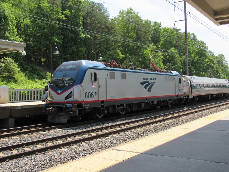
BWI Airport to Washington, D.C.
How to get from Baltimore/Washington International (BWI) into Washington, D.C. — the MARC and Amtrak trains via the BWI rail station, the free terminal shuttle, taxis and rideshare, and an honest look at whether BWI is the right airport for a DC trip.
Read guide
Capitol & White House Tour Planning
How official tours of the two most famous buildings in Washington actually work — the request windows, who to ask, the security to expect, realistic odds, and the strong free backups if a tour doesn't come through.
Read guide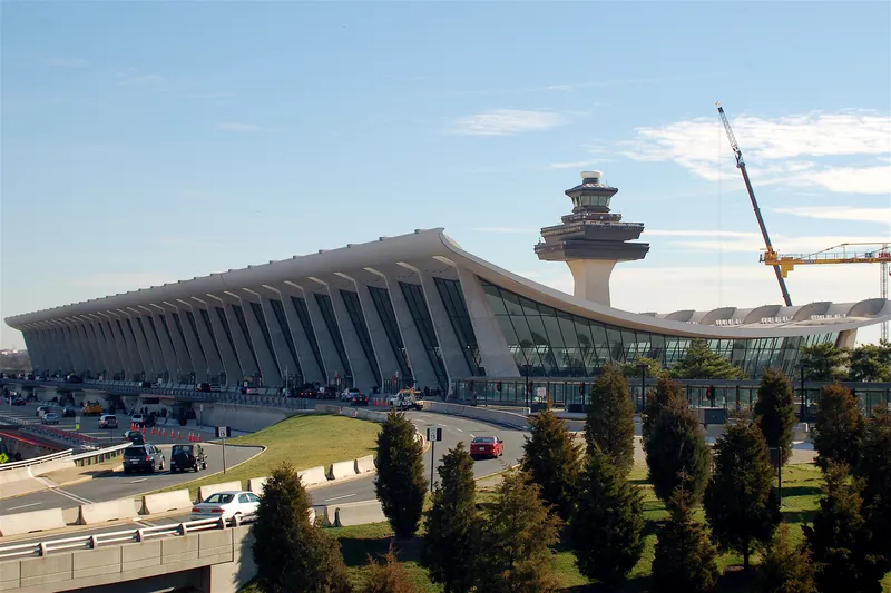
Dulles Airport to Washington, D.C.
How to get from Dulles International Airport (IAD) into Washington, D.C. — the Silver Line Metro, the Washington Flyer and 5A-style buses, taxis and rideshare, and the honest tradeoffs by time of day, budget and where your hotel sits.
Read guide
Is Washington, D.C. Safe for Tourists?
An honest, practical answer to whether Washington, D.C. is safe for visitors — what the tourist core is actually like, how the Metro and monuments feel day and night, sensible advice for families and solo travelers, what to know about protests and demonstrations, and the heat that is the season's real risk.
Read guide